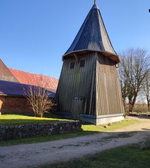
Canoe rest area Hollingstedt (Treene)
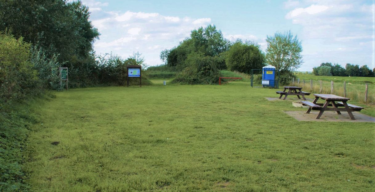
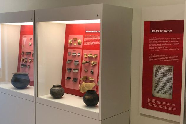
Shortly before the bridge at Hollingstedt, you will find the canoe launch on the right-hand side of the Treene. If you follow the narrow footpath parallel to the road for a few meters, you will come to a spacious rest area. Not only is there a mobile toilet here, which is set up in the summer months, but there are also various information boards to give visitors an insight into the region and its history. The foothills of the UNESCO World Heritage Site Haithabu and Danewerk Archaeological Border Complex are located here in and around Hollingstedt. Around 1000 years ago, the "North Sea port" of Haithabu and later medieval Schleswig was located just a few kilometers downstream to the left.
The Treene leaves the Geest landscape at Hollingstedt and now flows through the Marschniederung dyke. The river is up to 25 m wide and is mostly lined with dense reed growth. The current decreases, but the stretch becomes more susceptible to wind, especially in westerly winds from the Natobrücke bridge near Süderhöft. Downstream, the Rheider Au flows into the Treene. On the left is the "Bünger Berg", Dörpstedt's bathing area(Dörpstedt/Bünge canoeing area). Further downstream, the "Stapelholm" sand dune rises up on the left. The villages of Wohlde, Bergenhusen, Stapel and Seeth are located here.
Coordinates:
54°27'23.7 "N
9°19'35.6 "E
24876 Hollingstedt
<- previous location: Treia (7,5km)
-> next location: Büngerberg (1,8km)
